Pikangikum First Nation is seeking to train our youth to enter new livelihood activities, not at the expense of customary land based activities, our Ahneeshsheenahbay kahnahwaycheekahwin, or our cultural attachment to our Ancestral lands (Ahneesheenahbay otahkeem) but to continue our Ahneesheenahbay way of life.
Ahneeshsheenahbay kahnahwaycheekahwin, the customary stewardship approach of Pikangikum First Nation, and our very cultural survival as Beekahncheekahmeeng paymahteeseewahch, depends on Pikangikum people being on the land, learning from the land, learning the teachings of Pikangikum Elders. In this way, new land-based livelihoods in the Whitefeather Planning Area will compliment customary pursuits; both will be guided by our customary stewardship approach.
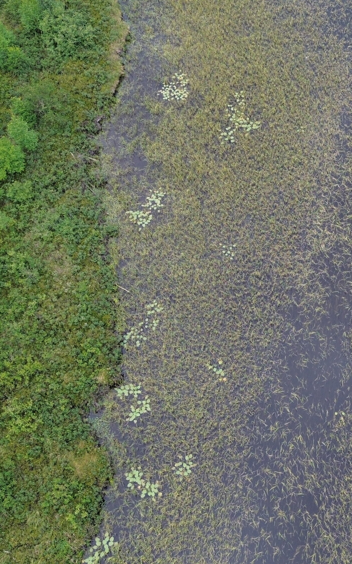
Our operations are supported by a small fleet of LiDAR and photogrammetry drones that are managed in-house by our experienced team.
Geomatics and fuel mapping
Leveraging the latest in computational and AI technology, we aim to be at the cutting edge of forest inventory and analytics, while integrating Indigenous Knowledge into all aspects of our forest management.
Our current research projects include direct stem measurements from airborne LiDAR, using machine learning algorithms with drone imagery and multispectral satellite to quantify the impacts of forest disturbances, and to examine fuel characteristics and forest fire risk within our wood basket.
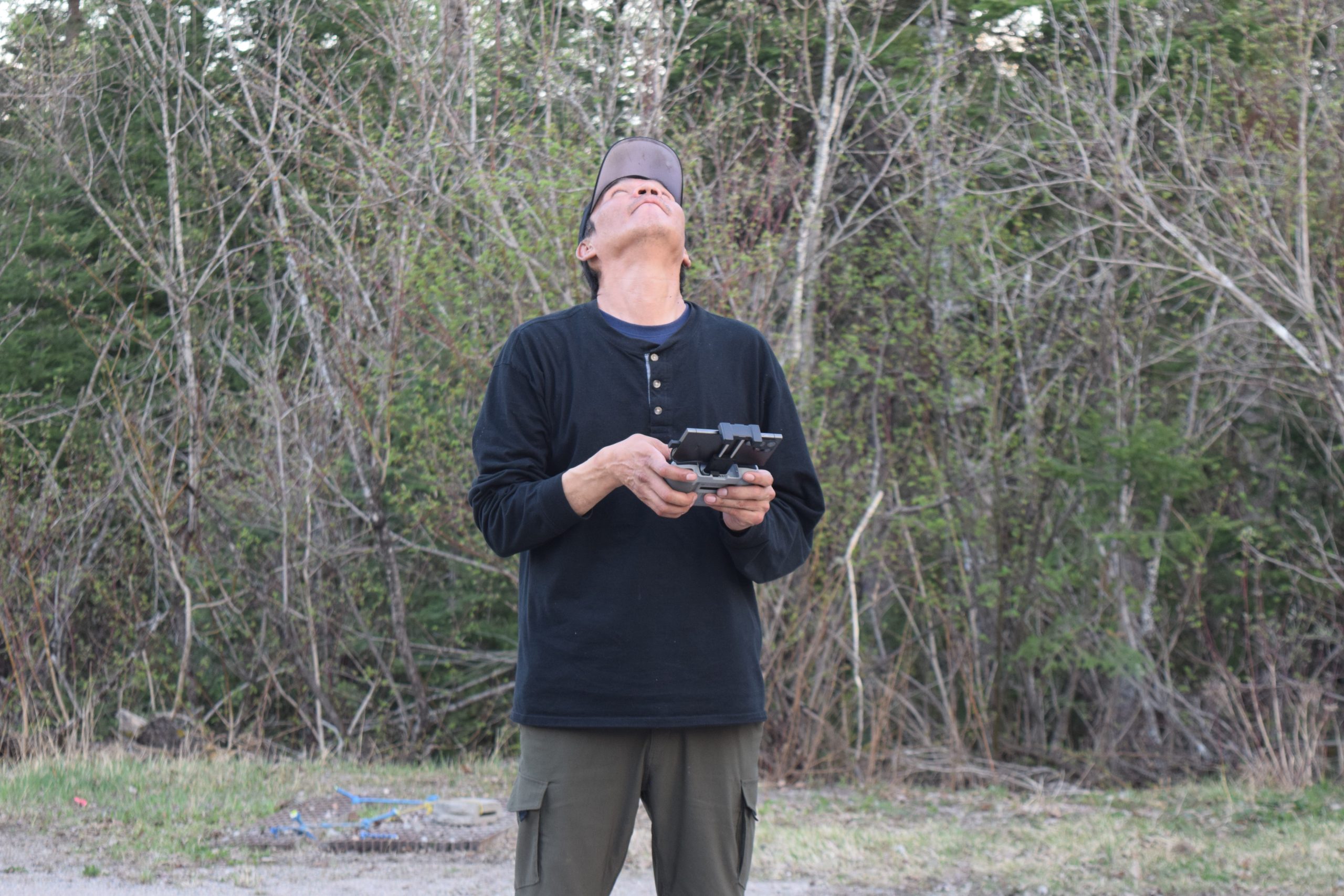
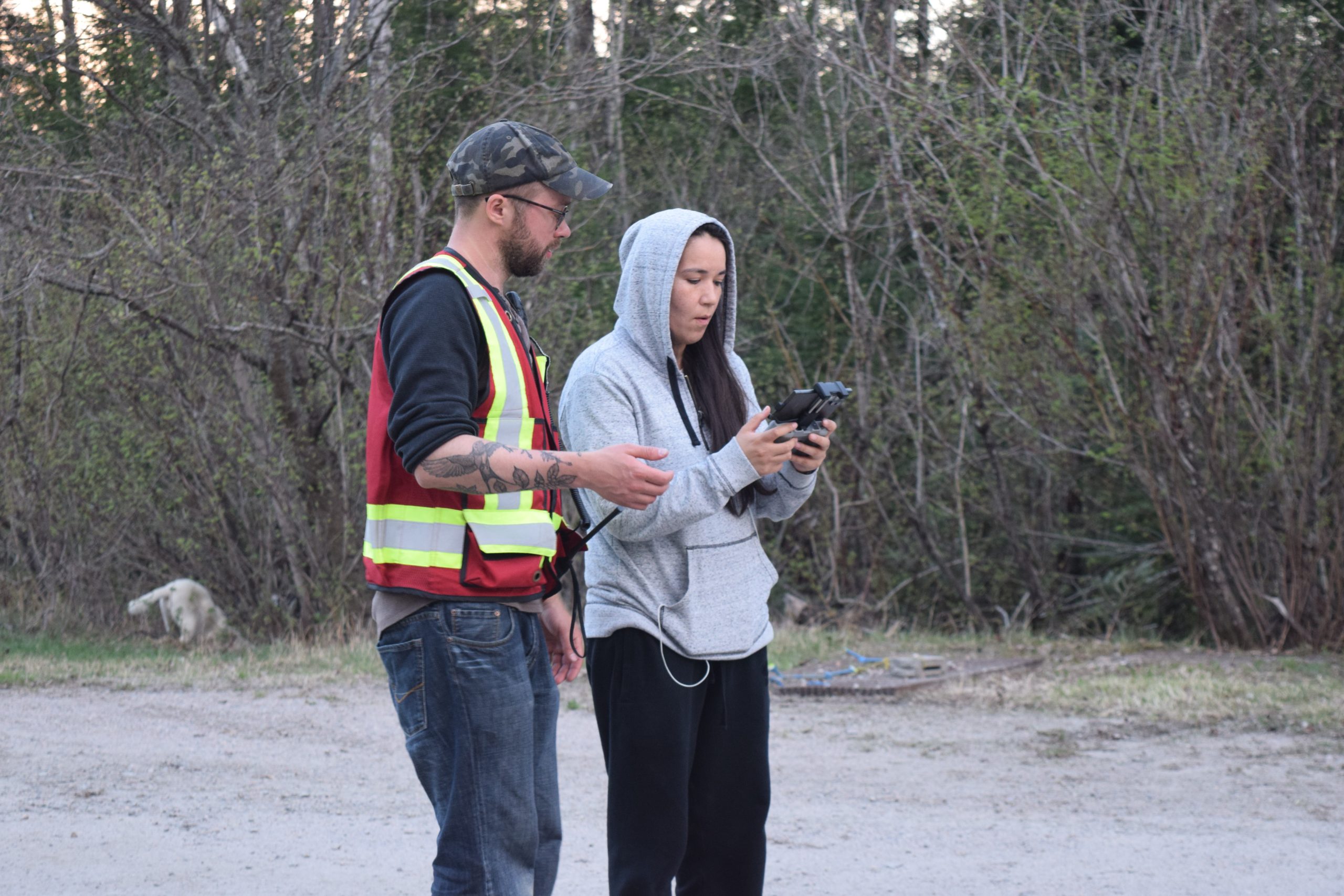
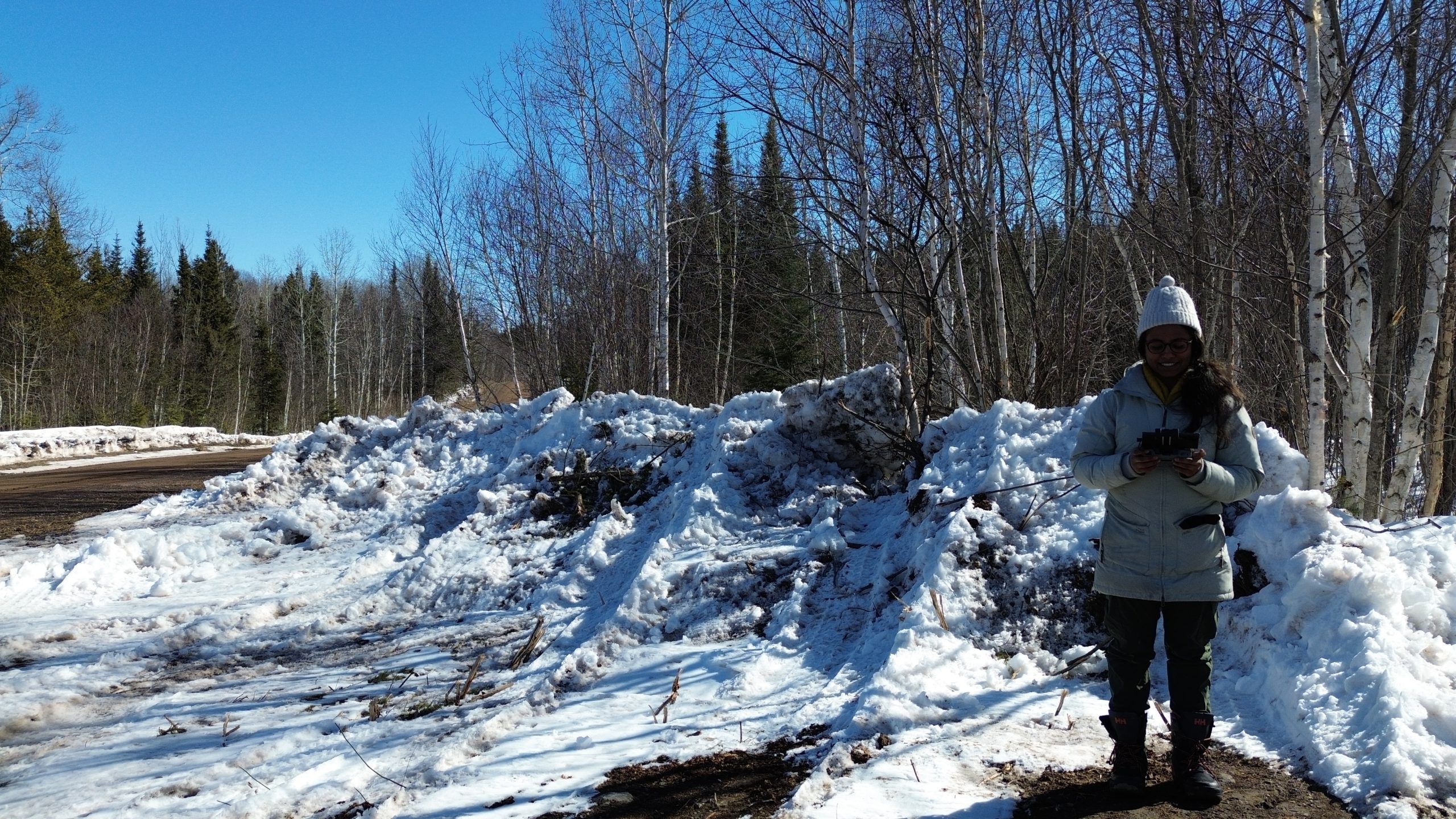
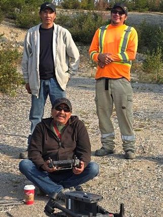
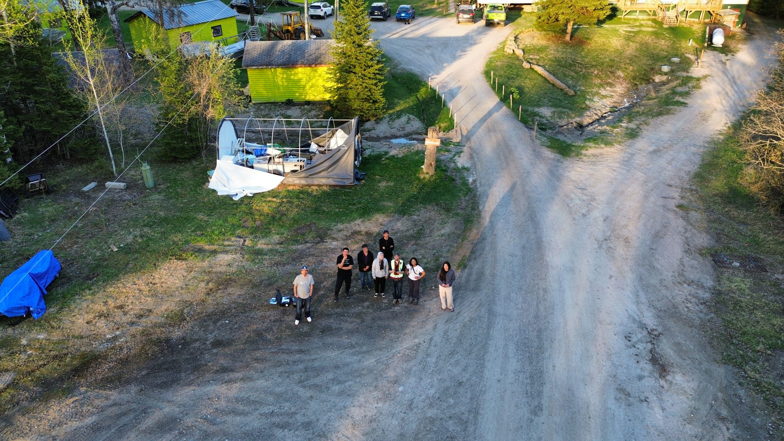
Photo Gallery
Enjoy some photos taken from and of our drone, training and drone operators!